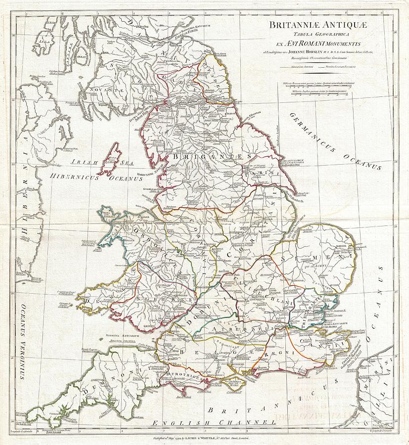
1794 Anville Map of England in ancient Roman times

by Paul Fearn
Title
1794 Anville Map of England in ancient Roman times
Artist
Paul Fearn
Medium
Photograph
Description
A large and dramatic 1794 map of England under Roman Rule. Covers all of England (Province of Britanniae) as well as adjacent parts of Scotland, Ireland (Hibernia), and France (Gallia). Features both ancient and contemporary place names, ie. Londinium and London, for each destination - an invaluable resource or scholars of antiquity. Details mountains, rivers, cities, roadways, and lakes with political divisions highlighted in outline color. Title area appears in a in the upper right quadrant. Includes two distance scales, bottom right, referencing distance measurement systems common in antiquity. Text in Latin and English. Drawn by John Horsley in 1732 and published in 1794 by Laurie and Whittle, London.
Uploaded
September 10th, 2013
Embed
Share
Comments (1)
There are no comments for 1794 Anville Map of England in ancient Roman times. Click here to post the first comment.


