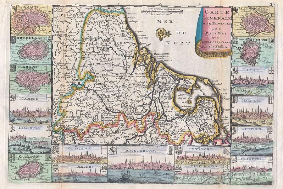
1710 De La Feuille Map of the Netherlands Belgium and Luxembourg

by Paul Fearn
Title
1710 De La Feuille Map of the Netherlands Belgium and Luxembourg
Artist
Paul Fearn
Medium
Photograph
Description
A very scarce, c. 1710, map of Belgium, the Netherlands and Luxembourg by Daniel de la Feuille. The main map is surrounded by seventeen plans and views of major cities in the region: Namur, Bruxelles (Brussels), Arras, Campen, Limbourg, Gueldre, Groningue, Anvers, Amsterdam, Utrecht, Midelbourg, Luxembourg, Mons, Lille, Mallines, Zutphen and Franeker. Drape style title cartouche in upper right quadrant. This map was originally prepared for inclusion as chart no. 27 in the 1710 edition of De la Feuille's Atlas Portatif.
Uploaded
July 13th, 2013
Embed
Share
Comments
There are no comments for 1710 De La Feuille Map of the Netherlands Belgium and Luxembourg . Click here to post the first comment.


