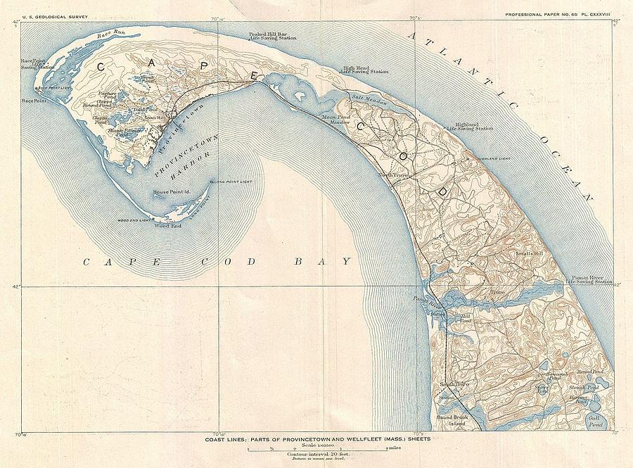
1908 US Geological Survey Map of Provincetown Cape Cod Massachusetts

by Paul Fearn
Title
1908 US Geological Survey Map of Provincetown Cape Cod Massachusetts
Artist
Paul Fearn
Medium
Photograph
Description
An unusual 1908 variant on the U.S. Geological Survey's map Cape Cod, Massachusetts. Covers from Gull Pond and Bound Brook Island north along the cape as far as Provincetown Harbor and Race Point. Offers typical superb detail throughout noting topographical features, rail lines, light houses, marsh lands, and numerous individual buildings. Notes the Pamet River Life Saving Stations, the Highland light and life saving station, the High Head Life Saving Station, the Peaked Hill Bar Life Saving Station, the Race Point Light and Life Saving Station, the Wood End Light, and the Long Point Light. Published as part of a 1908 U.S.G.S. instructional manual for reading topographic maps.
Uploaded
January 6th, 2017
Statistics
Viewed 113 Times - Last Visitor from Wilmington, DE on 04/19/2024 at 7:44 PM
Embed
Share
Sales Sheet
Comments
There are no comments for 1908 US Geological Survey Map of Provincetown Cape Cod Massachusetts. Click here to post the first comment.


