Sale on canvas prints! Use code ABCXYZ at checkout for a special discount!

Previous Image

|

Next Image
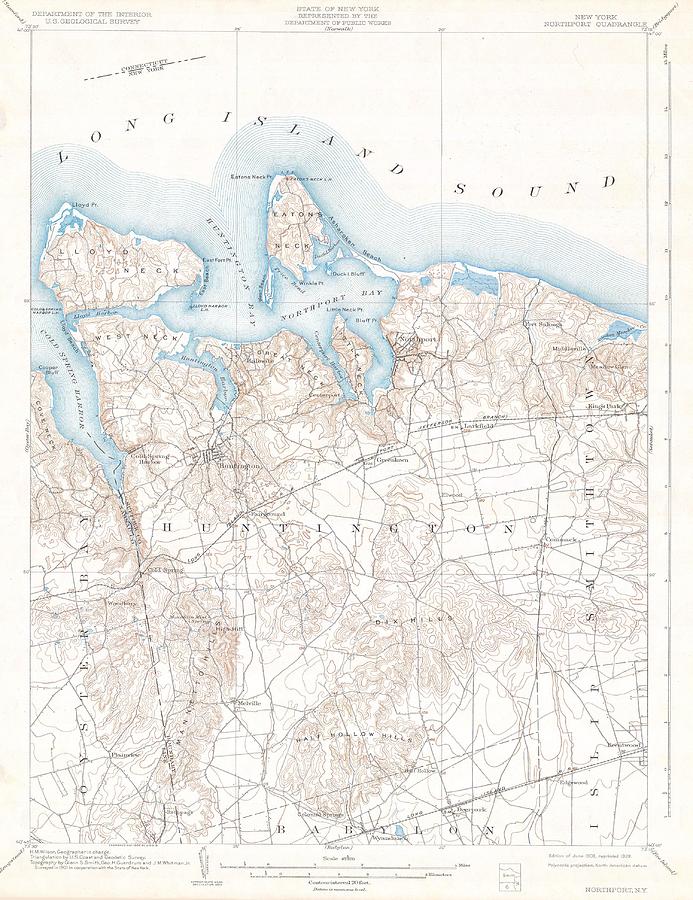
1900 USGS Map of Huntington and Northport Long Island New York  Photograph by Paul Fearn

Similar Images

1683 Mortier Map of North America the West Indies and the Atlantic Ocean  by Paul Fearn
1873 Beers Map of Southold  Shelter Island Long Island New York  by Paul Fearn
1857 Colton Travellers Map of Long Island New York by Paul Fearn
1891 Long Island Railroad Real Estate Map of Long Island  by Paul Fearn
Long Island Homestead Study from Nature by Paul Fearn
1794 Samuel Dunn Wall Map of the World in Hemispheres by Paul Fearn
Steamboats passing at midnight on Long Island by Popular Art
1873 Beers Map of Southold  Shelter Island Long Island New York  by Paul Fearn
1873 Beers Wall Map of Long Island New York  by Paul Fearn
1880 Colton Pocket Map of Long Island  by Paul Fearn
Coast Survey Map of Eastern Long Island Hamptons Amagansett by Paul Fearn
1873 Beers Map of East Hampton and Sag Harbor Long Island New York by Paul Fearn
1873 Beers Map of Islip and Sayville Long Island New York by Paul Fearn
1873 Beers Map of the town of Huntington, Long Island, New York by Paul Fearn
 A truly fascinating 1772 map of the northwestern parts of North America by Robert de Vaugondy and T by Paul Fearn
1773 Bellin Map of the Cape of Good Hope Capetown South Africa by Paul Fearn
1799 Clement Cruttwell Map of Asia by Paul Fearn
1779 Phelippeaux Case Map of the United States during the Revolutionary War by Paul Fearn
1818 Pinkerton Map of Africa by Paul Fearn
1828 Eddy Map of New York City and 30 Miles Around by Paul Fearn

Comments

There are no comments for 1900 USGS Map of Huntington and Northport Long Island New York .   Click here to post the first comment.

Recently Viewed

1900 USGS Map of Huntington and Northport Long Island New York  by Paul Fearn
Previous Image Next Image