Sale on canvas prints! Use code ABCXYZ at checkout for a special discount!


by Paul Fearn
$48.00
Design Location
Color
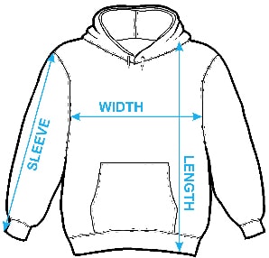
Image Size
Product Details
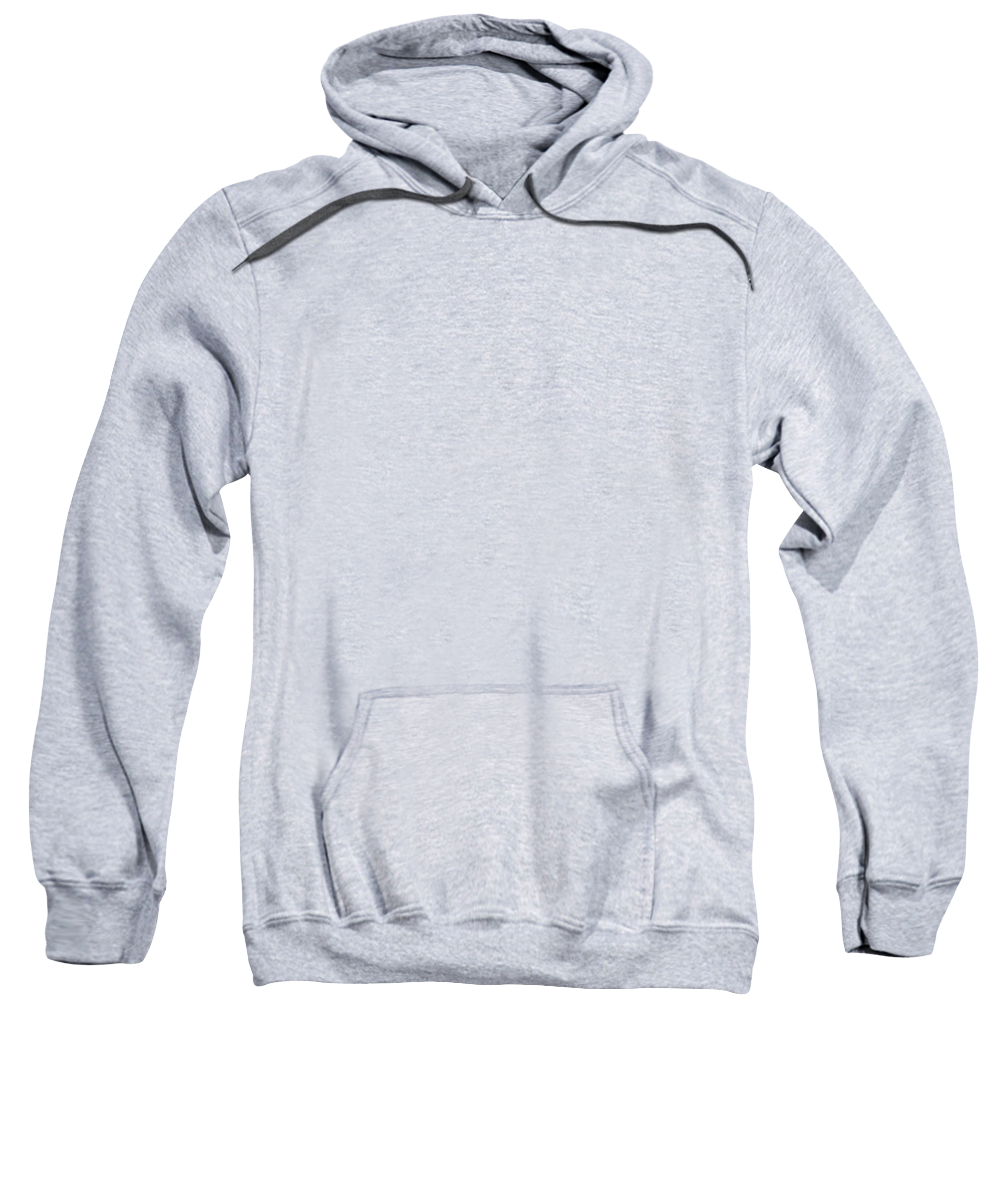
Our hoodies are made from a 75% cotton / 25% polyester blend and are available in five different sizes. All hoodies are machine washable.
Design Details
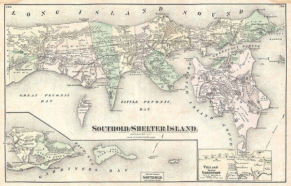
Rare example of Fredrick W. Beers' 1873 map of Southold and Shelter Island, Long Island, New York, covers from Franklinville and Mattituck Hills... more
Ships Within
1 - 2 business days
Rare example of Fredrick W. Beers' 1873 map of Southold and Shelter Island, Long Island, New York, covers from Franklinville and Mattituck Hills eastward past Cutchogue harbor, Peconic Village, Great Hog Neck Southold, Greenport, Orient Point and Oyster ponds to Plum Island, includes all of Shelter Island.
My passion is Photography and Aviation or is that Aviation and Photography ! I hope you enjoy my photographs.
$48.00


There are no comments for 1873 Beers Map of Southold Shelter Island Long Island New York . Click here to post the first comment.