Sale on canvas prints! Use code ABCXYZ at checkout for a special discount!


The watermark at the lower right corner of the image will not appear on the final product.

by Paul Fearn
$48.00
Design Location
Color
Image Size
Product Details
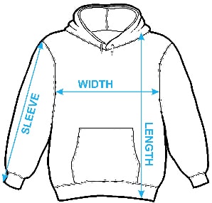
Our hoodies are made from a 75% cotton / 25% polyester blend and are available in five different sizes. All hoodies are machine washable.
Design Details
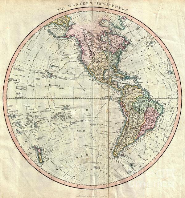
An attractive example of John Cary’s spectacular 1799 map of the Western Hemisphere. Covers the entirety of North America, South America, the... more
Ships Within
1 - 2 business days
An attractive example of John Cary’s spectacular 1799 map of the Western Hemisphere. Covers the entirety of North America, South America, the Pacific Ocean and much of Polynesia. Europe is mapped according to early 19th century form. In North America the fledgling United States extends westward only so far as the Mississippi River. Florida is divided at the Apalachicola River into eastern and western sections. West Florida, ostensibly part of the Louisiana Purchase, was claimed by the Spanish and remained under their control until 1812. East Florida remained under Spanish control until 1821. The South America portion of the map is notable for its excellent detail in the Amazon basin and the massive Spanish holdings extending from Panama south to Patagonia. The routes and discoveries of important explorers are noted throughout and crisscross both the Pacific and the Atlantic. Most notable are the explorations of Cook, Vancouver and Perouse. All in all, one of the most interesting and...
My passion is Photography and Aviation or is that Aviation and Photography ! I hope you enjoy my photographs.
$48.00


There are no comments for 1799 Cary Map of the Western Hemisphere . Click here to post the first comment.