Sale on canvas prints! Use code ABCXYZ at checkout for a special discount!


The watermark at the lower right corner of the image will not appear on the final product.

by Paul Fearn
$32.00
Color
Image Size
Product Details
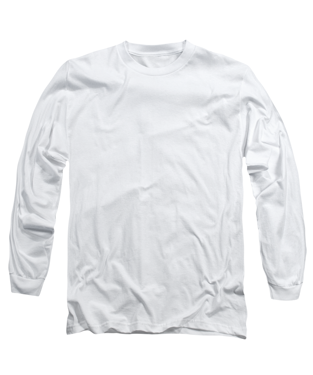
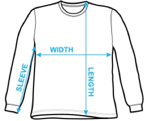
Our long-sleeve t-shirts are made from 50% cotton / 50% polyester blend and are available in five different sizes. All long-sleeve t-shirts are machine washable.
Design Details
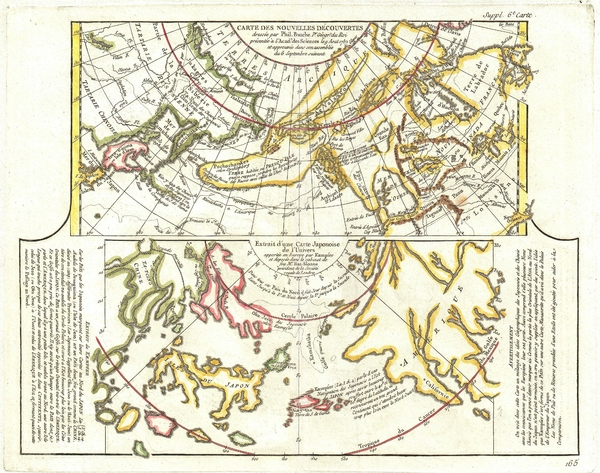
This is a fascinating combination of two contrasting maps on a single sheet. Both maps cover the northeastern parts of Asia and the northwestern... more
Ships Within
1 - 2 business days
This is a fascinating combination of two contrasting maps on a single sheet. Both maps cover the northeastern parts of Asia and the northwestern parts of North America. This two map chart was originally drawn by Phillip Buache to expound upon his theories regarding the northwest coast of America and more specifically upon the possibility of a Northwest Passage. The upper map, entitled “Carte des Nouvelles Decouvertes” is a combination of data absconded from the Russian “Academy of Sciences” and Buache’s speculations on the Northwest Passage. When Joseph-Nicholas de L’Isle, younger brother of the better known Guilleme de L’Isle, returned from his tenure at Russian Tzar Peter the Great’s “Academy of Sciences” he decided to publish a compilation of secret cartographic data obtained from previously unknown Russian expeditions to Kamtschaka and the coast of Siberia. These seminal explorations included the discoveries of Tchirikow, Frondat, Bering, among others. De L’Is...
My passion is Photography and Aviation or is that Aviation and Photography ! I hope you enjoy my photographs.
$32.00


There are no comments for 1772 Vaugondy Diderot Map of Alaska the Pacific Northwest and the Northwest Passage. Click here to post the first comment.